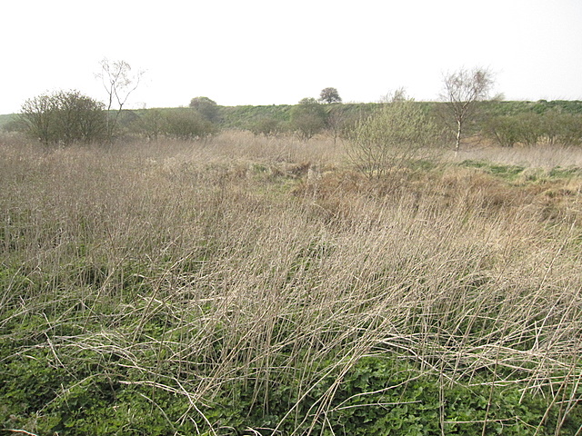
Rough land by Lordship Lane #2
Introduction
The photograph on this page of Rough land by Lordship Lane #2 by John S Turner as part of the Geograph project.
The Geograph project started in 2005 with the aim of publishing, organising and preserving representative images for every square kilometre of Great Britain, Ireland and the Isle of Man.
There are currently over 7.5m images from over 14,400 individuals and you can help contribute to the project by visiting https://www.geograph.org.uk

Image: © John S Turner Taken: 3 Apr 2009
A view of the uncultivated land alongside Lordship Lane. The high bank bounds one of the Manchester Ship Canal Deposit Dumps into which dredged material has been dumped for many years. I discovered later in the walk that the ground level within the bank is now nearly at the top and appears to be used as farmland. Two GPS units located me precisely in the south east corner of the square just a few steps in from the lane. See also Image

