Oakwood Grove spinney from Blacklow Road, Warwick
Introduction
The photograph on this page of Oakwood Grove spinney from Blacklow Road, Warwick by Robin Stott as part of the Geograph project.
The Geograph project started in 2005 with the aim of publishing, organising and preserving representative images for every square kilometre of Great Britain, Ireland and the Isle of Man.

There are currently over 7.5m images from over 14,400 individuals and you can help contribute to the project by visiting https://www.geograph.org.uk
Oakwood Grove spinney from Blacklow Road, Warwick
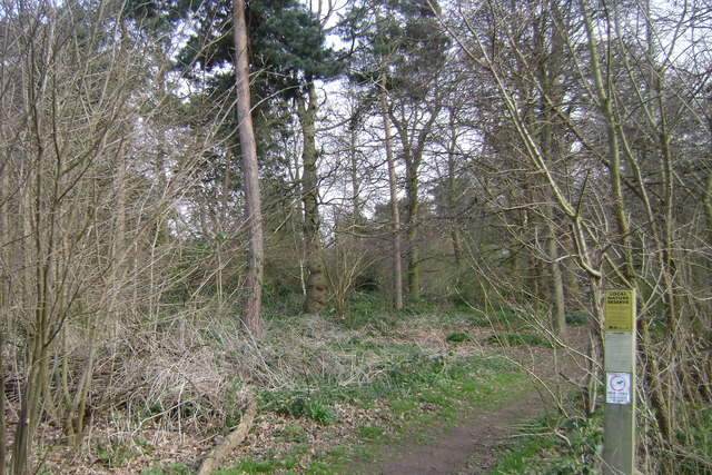
Image: © Robin Stott Taken: 31 Mar 2009
The spinney is thought to be an estate plantation, retained when the area was developed for housing. It is one of Warwick District Council's nine or ten Local Nature Reserves, and is managed with local people.
Images are licensed for reuse under creativecommons.org/licenses/by-sa/2.0
Image Location
Latitude
52.294065
Longitude
-1.574746