Horse-drawn spreading southeast of Bushfield Farm
Introduction
The photograph on this page of Horse-drawn spreading southeast of Bushfield Farm by Peter Facey as part of the Geograph project.
The Geograph project started in 2005 with the aim of publishing, organising and preserving representative images for every square kilometre of Great Britain, Ireland and the Isle of Man.

There are currently over 7.5m images from over 14,400 individuals and you can help contribute to the project by visiting https://www.geograph.org.uk
Horse-drawn spreading southeast of Bushfield Farm
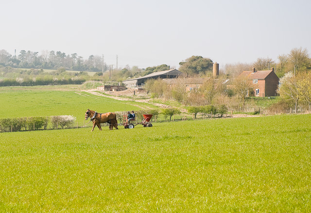
Image: © Peter Facey Taken: 3 Apr 2009
I presume they were spreading some kind of fertiliser. Bushfield Farm is beyond (in the next square). Seen from footpath.
Images are licensed for reuse under creativecommons.org/licenses/by-sa/2.0
Image Location
Latitude
51.039824
Longitude
-1.333152