Track and water channel, Oxenhope
Introduction
The photograph on this page of Track and water channel, Oxenhope by Humphrey Bolton as part of the Geograph project.
The Geograph project started in 2005 with the aim of publishing, organising and preserving representative images for every square kilometre of Great Britain, Ireland and the Isle of Man.

There are currently over 7.5m images from over 14,400 individuals and you can help contribute to the project by visiting https://www.geograph.org.uk
Track and water channel, Oxenhope
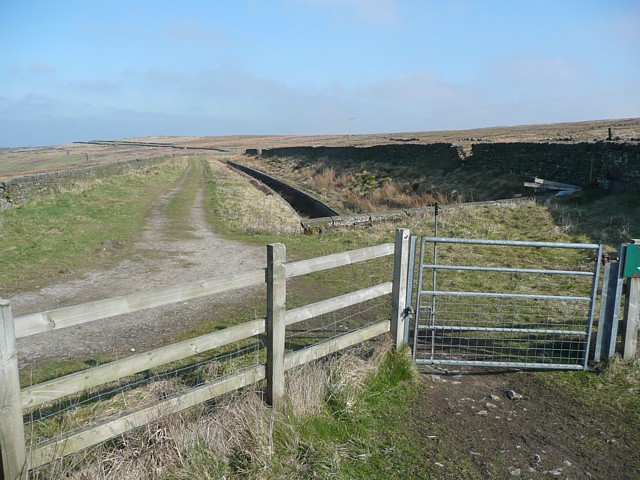
Image: © Humphrey Bolton Taken: 2 Apr 2009
The channel is Thornton Moor Water Conduit. The track is not shown on the map as a right-of-way, but the bridle gate suggests that public access is allowed.
Images are licensed for reuse under creativecommons.org/licenses/by-sa/2.0
Image Location


Leaflet Map data © OpenStreetMap
Latitude
53.798703
Longitude
-1.97719