Steading at Townhead
Introduction
The photograph on this page of Steading at Townhead by Anne Burgess as part of the Geograph project.
The Geograph project started in 2005 with the aim of publishing, organising and preserving representative images for every square kilometre of Great Britain, Ireland and the Isle of Man.

There are currently over 7.5m images from over 14,400 individuals and you can help contribute to the project by visiting https://www.geograph.org.uk
Steading at Townhead
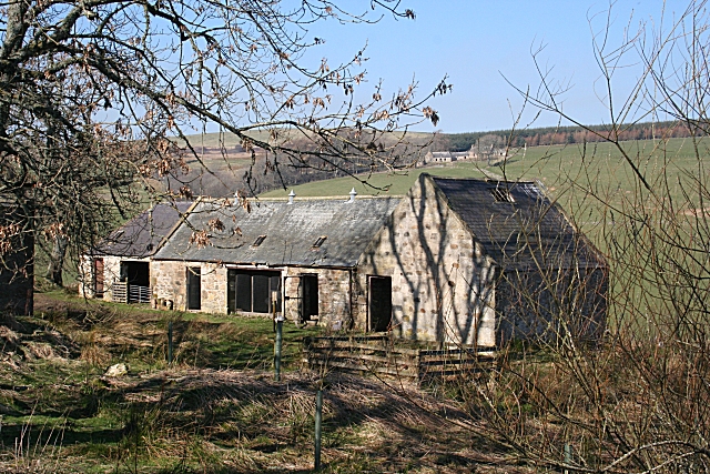
Image: © Anne Burgess Taken: 3 Apr 2009
Townhead is abandoned, but it looks as if the steading is still in use. Bonfail, on the far side of the glen, is visible in the distance.
Images are licensed for reuse under creativecommons.org/licenses/by-sa/2.0
Image Location
Latitude
57.430035
Longitude
-2.97124