Marina, Emerald Quay
Introduction
The photograph on this page of Marina, Emerald Quay by Simon Carey as part of the Geograph project.
The Geograph project started in 2005 with the aim of publishing, organising and preserving representative images for every square kilometre of Great Britain, Ireland and the Isle of Man.

There are currently over 7.5m images from over 14,400 individuals and you can help contribute to the project by visiting https://www.geograph.org.uk
Marina, Emerald Quay
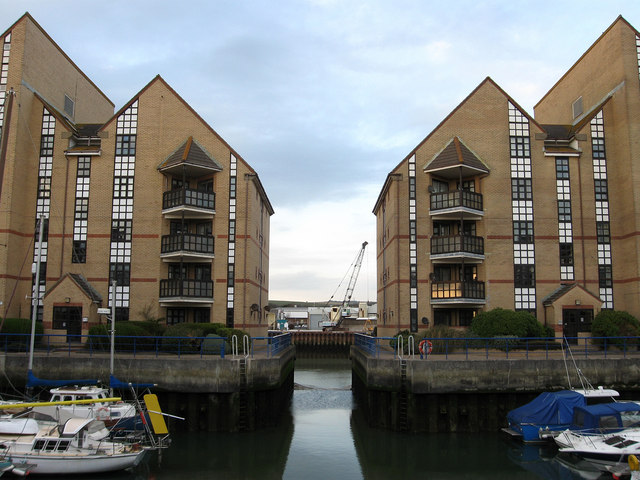
Image: © Simon Carey Taken: 29 Mar 2009
Small marina accessible only at high tides. Emerald Quay began in 1986 and was completed in the 1990s and includes this marina, a public slipway and a private health club.
Images are licensed for reuse under creativecommons.org/licenses/by-sa/2.0
Image Location
Latitude
50.831003
Longitude
-0.265315