Emerald Quay
Introduction
The photograph on this page of Emerald Quay by Simon Carey as part of the Geograph project.
The Geograph project started in 2005 with the aim of publishing, organising and preserving representative images for every square kilometre of Great Britain, Ireland and the Isle of Man.

There are currently over 7.5m images from over 14,400 individuals and you can help contribute to the project by visiting https://www.geograph.org.uk
Emerald Quay
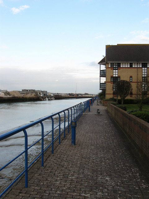
Image: © Simon Carey Taken: 29 Mar 2009
Waterside housing development begun in 1986 and completed in the 1990s, the length of time due to the housing crash of the late 1980s. The development was built on the site of an old boatyard and includes a slipway and small marina. The footpath running along the riverside appears to be open to the public as I saw no signs telling me to desist.
Images are licensed for reuse under creativecommons.org/licenses/by-sa/2.0
Image Location
Latitude
50.831104
Longitude
-0.266021