Reflections in Stag Brook, Whitchurch
Introduction
The photograph on this page of Reflections in Stag Brook, Whitchurch by Espresso Addict as part of the Geograph project.
The Geograph project started in 2005 with the aim of publishing, organising and preserving representative images for every square kilometre of Great Britain, Ireland and the Isle of Man.

There are currently over 7.5m images from over 14,400 individuals and you can help contribute to the project by visiting https://www.geograph.org.uk
Reflections in Stag Brook, Whitchurch
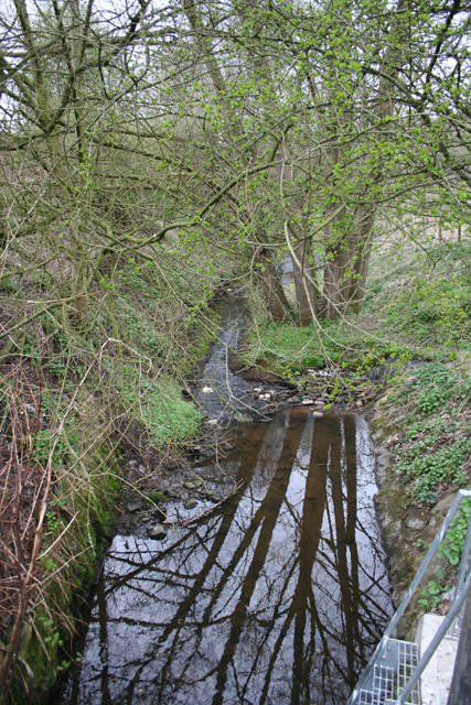
Image: © Espresso Addict Taken: 31 Mar 2009
Stag Brook emerging from a culvert to the north of Waterside Close. A tributary joins at the stones in the centre of the photograph. This is part of the open area, now designed Whitchurch Waterway Country Park, which formed the route of the Whitchurch Arm of the Llangollen Branch of the Shropshire Union. See also Image
Images are licensed for reuse under creativecommons.org/licenses/by-sa/2.0
Image Location
Latitude
52.969746
Longitude
-2.690858