New Shoreham
Introduction
The photograph on this page of New Shoreham by Simon Carey as part of the Geograph project.
The Geograph project started in 2005 with the aim of publishing, organising and preserving representative images for every square kilometre of Great Britain, Ireland and the Isle of Man.

There are currently over 7.5m images from over 14,400 individuals and you can help contribute to the project by visiting https://www.geograph.org.uk
New Shoreham
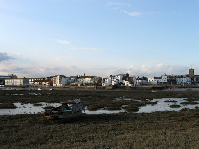
Image: © Simon Carey Taken: 29 Mar 2009
The port was a medieval new town constructed in the 12th century when the mouth of the Adur began to be obstructed by a spit that by the end of the 18th century reached as far as Hove, causing silting around the former anchorages of Old Shoreham. Viewed from Shoreham Beach which was built on the shingle spit.
Images are licensed for reuse under creativecommons.org/licenses/by-sa/2.0
Image Location
Latitude
50.831433
Longitude
-0.276091