Bland
Introduction
The photograph on this page of Bland by Colin Craig as part of the Geograph project.
The Geograph project started in 2005 with the aim of publishing, organising and preserving representative images for every square kilometre of Great Britain, Ireland and the Isle of Man.

There are currently over 7.5m images from over 14,400 individuals and you can help contribute to the project by visiting https://www.geograph.org.uk
Bland
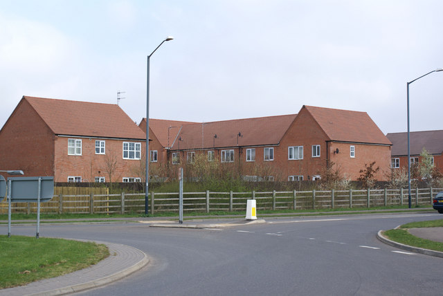
Image: © Colin Craig Taken: 2 Apr 2009
Some of the typically bland, identikit new housing being built on the outskirts of Stratford upon Avon. This historic area has been identified as a housing growth area and unfortunately the architecture is often of this standard.
Images are licensed for reuse under creativecommons.org/licenses/by-sa/2.0
Image Location
Latitude
52.180512
Longitude
-1.688881