Wingfield Park
Introduction
The photograph on this page of Wingfield Park by Alan Murray-Rust as part of the Geograph project.
The Geograph project started in 2005 with the aim of publishing, organising and preserving representative images for every square kilometre of Great Britain, Ireland and the Isle of Man.

There are currently over 7.5m images from over 14,400 individuals and you can help contribute to the project by visiting https://www.geograph.org.uk
Wingfield Park
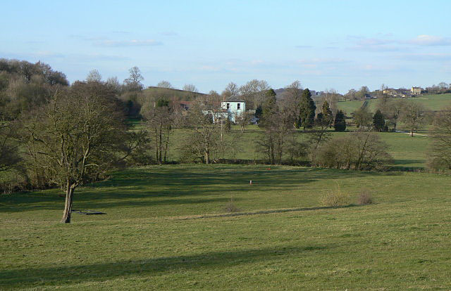
Image: © Alan Murray-Rust Taken: 1 Apr 2009
The parkland stretches up to the A610 from which this view was taken. The house is in the next square north
Images are licensed for reuse under creativecommons.org/licenses/by-sa/2.0
Image Location
Latitude
53.06376
Longitude
-1.443054