Pond and track, near Park Farm, east of Axford
Introduction
The photograph on this page of Pond and track, near Park Farm, east of Axford by Brian Robert Marshall as part of the Geograph project.
The Geograph project started in 2005 with the aim of publishing, organising and preserving representative images for every square kilometre of Great Britain, Ireland and the Isle of Man.

There are currently over 7.5m images from over 14,400 individuals and you can help contribute to the project by visiting https://www.geograph.org.uk
Pond and track, near Park Farm, east of Axford
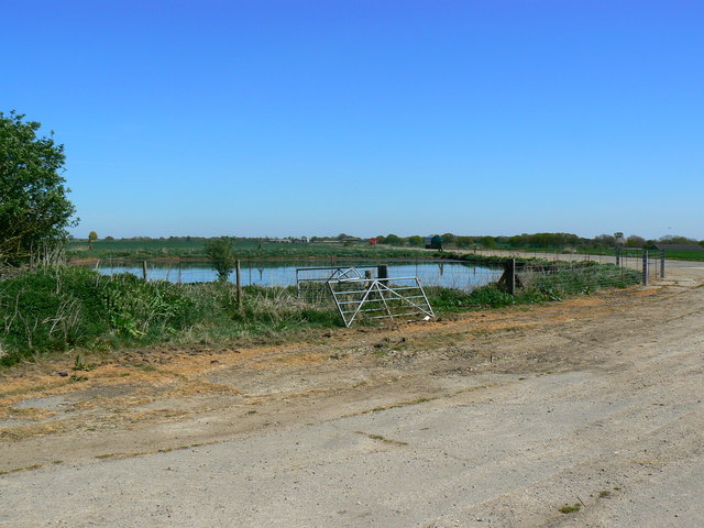
Image: © Brian Robert Marshall Taken: 19 Apr 2007
The area is part of the old wartime Ramsbury airfield. The pond may once have been part of the firefighting provisions. It is just inside the eastern edge of this square.
Images are licensed for reuse under creativecommons.org/licenses/by-sa/2.0
Image Location


Leaflet Map data © OpenStreetMap
Latitude
51.427218
Longitude
-1.627439