Footpath junction in Grove Farm
Introduction
The photograph on this page of Footpath junction in Grove Farm by David Anstiss as part of the Geograph project.
The Geograph project started in 2005 with the aim of publishing, organising and preserving representative images for every square kilometre of Great Britain, Ireland and the Isle of Man.

There are currently over 7.5m images from over 14,400 individuals and you can help contribute to the project by visiting https://www.geograph.org.uk
Footpath junction in Grove Farm
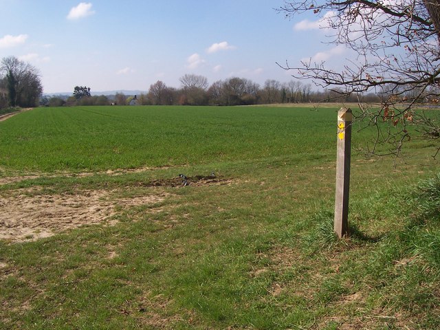
Image: © David Anstiss Taken: 1 Apr 2009
Footpath from Lughorse Lane divides at this post. A path leads right, past a reservoir to West Street near Scott's Farm. Also a path leads left along the hedgeline into the Farm and then onto West Street, near Cheveney.
Images are licensed for reuse under creativecommons.org/licenses/by-sa/2.0
Image Location
Latitude
51.221473
Longitude
0.457933