Nethercote Lane, Lewknor
Introduction
The photograph on this page of Nethercote Lane, Lewknor by David Ellis as part of the Geograph project.
The Geograph project started in 2005 with the aim of publishing, organising and preserving representative images for every square kilometre of Great Britain, Ireland and the Isle of Man.

There are currently over 7.5m images from over 14,400 individuals and you can help contribute to the project by visiting https://www.geograph.org.uk
Nethercote Lane, Lewknor
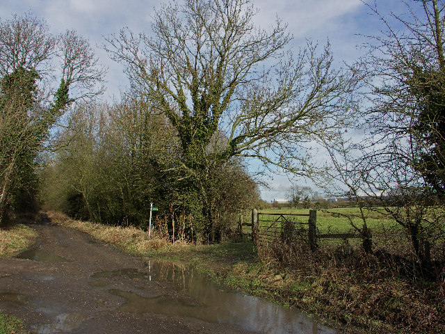
Image: © David Ellis Taken: 16 Feb 2006
The Lane follows the line of the Lower Icknield Way, an ancient track that later became part of the Roman Icknield Way. A more recent track, the M40 motorway, can be seen across the field to the northeast.
Images are licensed for reuse under creativecommons.org/licenses/by-sa/2.0
Image Location
Latitude
51.677177
Longitude
-0.973116