Marshy hollow north of Whitchurch
Introduction
The photograph on this page of Marshy hollow north of Whitchurch by Espresso Addict as part of the Geograph project.
The Geograph project started in 2005 with the aim of publishing, organising and preserving representative images for every square kilometre of Great Britain, Ireland and the Isle of Man.

There are currently over 7.5m images from over 14,400 individuals and you can help contribute to the project by visiting https://www.geograph.org.uk
Marshy hollow north of Whitchurch
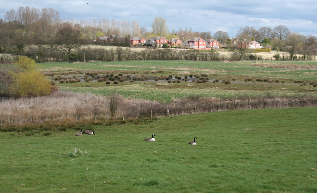
Image: © Espresso Addict Taken: 31 Mar 2009
A marshy area at an elevation of around 95 metres lies between Tarporley Road and Alport Road/Terrick Road, to the north east of the town of Whitchurch. This view from the public footpath between Tarporley Road and Terrick Road, shows the pasture sloping down to a marshy hollow, straddling this gridsquare and Image; the mere shown in Image is just out of frame to the left. The houses in the distance are a recently built estate, Fairways Drive, in Image A group of Canada geese were foraging in the sloping pasture (foreground)
Images are licensed for reuse under creativecommons.org/licenses/by-sa/2.0
Image Location
Latitude
52.974258
Longitude
-2.687952