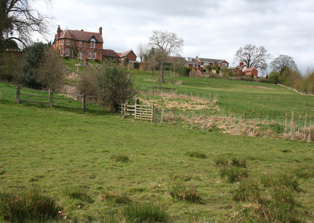
Sloping pasture east of Tarporley Road, near Whitchurch
Introduction
The photograph on this page of Sloping pasture east of Tarporley Road, near Whitchurch by Espresso Addict as part of the Geograph project.
The Geograph project started in 2005 with the aim of publishing, organising and preserving representative images for every square kilometre of Great Britain, Ireland and the Isle of Man.
There are currently over 7.5m images from over 14,400 individuals and you can help contribute to the project by visiting https://www.geograph.org.uk

Image: © Espresso Addict Taken: 31 Mar 2009
The farmland east of Tarporley Road descends relatively steeply from around 115 metres to an area of meres and marshland at around 95 metres in this square and Image This view, from by the public footpath between Tarporley Road and Terrick Road a little above the 95 metre contour, shows the east side of The Laurels, showing one of its distinctive circular bays topped with a conical roof; see also Image

