Blackgrange level crossing
Introduction
The photograph on this page of Blackgrange level crossing by Jim Smillie as part of the Geograph project.
The Geograph project started in 2005 with the aim of publishing, organising and preserving representative images for every square kilometre of Great Britain, Ireland and the Isle of Man.

There are currently over 7.5m images from over 14,400 individuals and you can help contribute to the project by visiting https://www.geograph.org.uk
Blackgrange level crossing
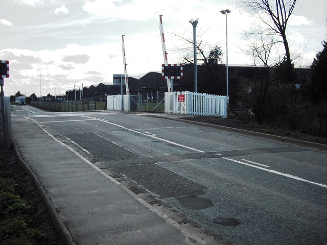
Image: © Jim Smillie Taken: 31 Mar 2009
Giving access over the Stirling - Alloa line to a large area of whisky bonds.
Images are licensed for reuse under creativecommons.org/licenses/by-sa/2.0
Image Location
Latitude
56.131839
Longitude
-3.869717