Broadheath - Sinderland Lane
Introduction
The photograph on this page of Broadheath - Sinderland Lane by Peter Whatley as part of the Geograph project.
The Geograph project started in 2005 with the aim of publishing, organising and preserving representative images for every square kilometre of Great Britain, Ireland and the Isle of Man.

There are currently over 7.5m images from over 14,400 individuals and you can help contribute to the project by visiting https://www.geograph.org.uk
Broadheath - Sinderland Lane
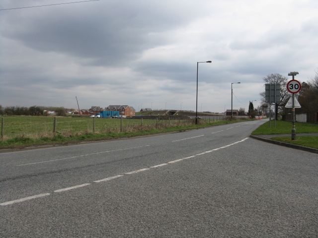
Image: © Peter Whatley Taken: 31 Mar 2009
The bridge in the background is a very new access to a housing estate. Why a bridge is required over a dismantled railway is anyone's guess.
Images are licensed for reuse under creativecommons.org/licenses/by-sa/2.0
Image Location
Latitude
53.404999
Longitude
-2.36517