Fields near Deal
Introduction
The photograph on this page of Fields near Deal by Rosie Burnham as part of the Geograph project.
The Geograph project started in 2005 with the aim of publishing, organising and preserving representative images for every square kilometre of Great Britain, Ireland and the Isle of Man.

There are currently over 7.5m images from over 14,400 individuals and you can help contribute to the project by visiting https://www.geograph.org.uk
Fields near Deal
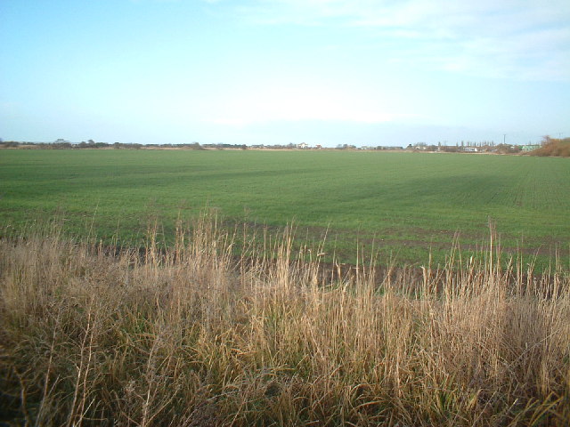
Image: © Rosie Burnham Taken: 16 Feb 2006
View taken from Southwall Road, about 100 metres past the industrial estate, looking north-north-east
Images are licensed for reuse under creativecommons.org/licenses/by-sa/2.0
Image Location
Latitude
51.230668
Longitude
1.389036