Dual Carriageway Ends
Introduction
The photograph on this page of Dual Carriageway Ends by Peter Whatley as part of the Geograph project.
The Geograph project started in 2005 with the aim of publishing, organising and preserving representative images for every square kilometre of Great Britain, Ireland and the Isle of Man.

There are currently over 7.5m images from over 14,400 individuals and you can help contribute to the project by visiting https://www.geograph.org.uk
Dual Carriageway Ends
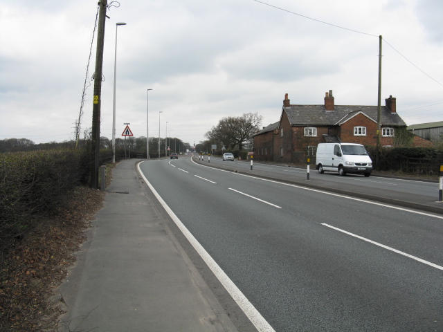
Image: © Peter Whatley Taken: 31 Mar 2009
The A556 reverts to a lethal single carriageway at Over Tabley. Dualling or replacement of Manchester's main access to the south by a motorway has been repeatedly defeated by NIMBYism and government cash constraints since the 1970s.
Images are licensed for reuse under creativecommons.org/licenses/by-sa/2.0
Image Location
Latitude
53.319354
Longitude
-2.415176