Track through cattle pasture
Introduction
The photograph on this page of Track through cattle pasture by Espresso Addict as part of the Geograph project.
The Geograph project started in 2005 with the aim of publishing, organising and preserving representative images for every square kilometre of Great Britain, Ireland and the Isle of Man.

There are currently over 7.5m images from over 14,400 individuals and you can help contribute to the project by visiting https://www.geograph.org.uk
Track through cattle pasture
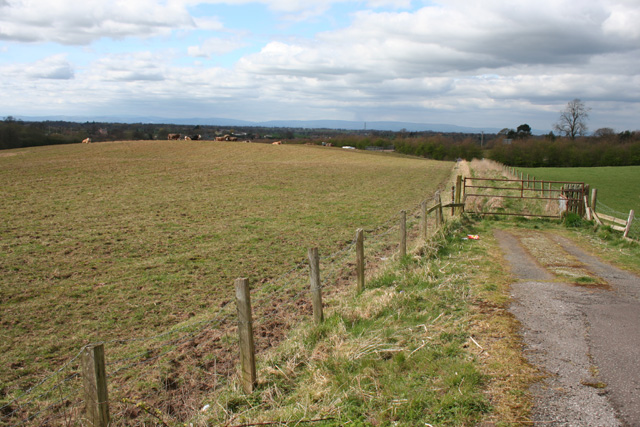
Image: © Espresso Addict Taken: 31 Mar 2009
Undulating cattle pasture by the B5476/Tarporley Road. The gentle rise (left) is at an elevation of around 105 metres. The track (right) is a public footpath cutting the corner between Tarporley Road and the A49 and continuing to The Fields Farm in Image, although there is no visible marker for the right of way
Images are licensed for reuse under creativecommons.org/licenses/by-sa/2.0
Image Location


Leaflet Map data © OpenStreetMap
Latitude
52.981432
Longitude
-2.691045