Wyatts Lane, Corfe Mullen
Introduction
The photograph on this page of Wyatts Lane, Corfe Mullen by John Palmer as part of the Geograph project.
The Geograph project started in 2005 with the aim of publishing, organising and preserving representative images for every square kilometre of Great Britain, Ireland and the Isle of Man.

There are currently over 7.5m images from over 14,400 individuals and you can help contribute to the project by visiting https://www.geograph.org.uk
Wyatts Lane, Corfe Mullen
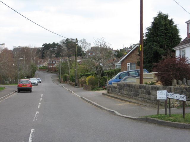
Image: © John Palmer Taken: 1 Apr 2009
In the distance, our walk turned right into Wyatts Close, which connected via a 'no cycling' alley to Moorside Road and the main Wareham Road.
Images are licensed for reuse under creativecommons.org/licenses/by-sa/2.0
Image Location
Latitude
50.768534
Longitude
-2.022211