Bricks and Rubble: Hornsey Station
Introduction
The photograph on this page of Bricks and Rubble: Hornsey Station by Mark Hunter as part of the Geograph project.
The Geograph project started in 2005 with the aim of publishing, organising and preserving representative images for every square kilometre of Great Britain, Ireland and the Isle of Man.

There are currently over 7.5m images from over 14,400 individuals and you can help contribute to the project by visiting https://www.geograph.org.uk
Bricks and Rubble: Hornsey Station
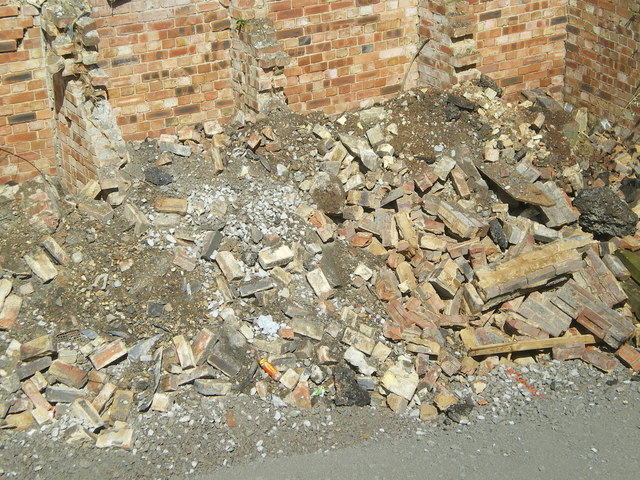
Image: © Mark Hunter Taken: 13 Apr 2008
A new road has been built onto the sidings. There used to be a stand of conifers here that were home to hundreds of starlings. Not any more.
Images are licensed for reuse under creativecommons.org/licenses/by-sa/2.0
Image Location
Latitude
51.588888
Longitude
-0.112019