Horfield Common
Introduction
The photograph on this page of Horfield Common by Linda Bailey as part of the Geograph project.
The Geograph project started in 2005 with the aim of publishing, organising and preserving representative images for every square kilometre of Great Britain, Ireland and the Isle of Man.

There are currently over 7.5m images from over 14,400 individuals and you can help contribute to the project by visiting https://www.geograph.org.uk
Horfield Common
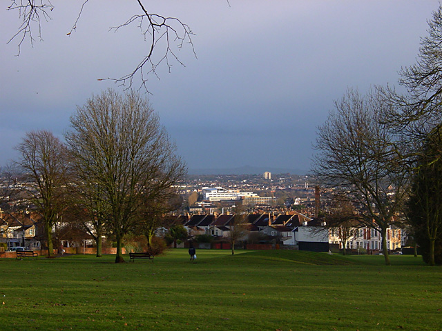
Image: © Linda Bailey Taken: 16 Feb 2006
Looking out of the grid square from Kellaway Avenue, towards the south-east (the base of the common is GR ST591763). The white building in the centre of the photograph is the new Fairfield High School site at Grid Ref ST604754.
Images are licensed for reuse under creativecommons.org/licenses/by-sa/2.0
Image Location
Latitude
51.485505
Longitude
-2.592003