The Victoria, Rugby
Introduction
The photograph on this page of The Victoria, Rugby by Stephen McKay as part of the Geograph project.
The Geograph project started in 2005 with the aim of publishing, organising and preserving representative images for every square kilometre of Great Britain, Ireland and the Isle of Man.

There are currently over 7.5m images from over 14,400 individuals and you can help contribute to the project by visiting https://www.geograph.org.uk
The Victoria, Rugby
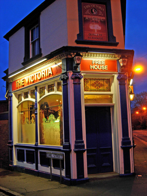
Image: © Stephen McKay Taken: 28 Mar 2009
Standing on the corner of Lower Hillmorton Road and Earl Street, the Victoria looks welcoming in the early evening twilight.
Images are licensed for reuse under creativecommons.org/licenses/by-sa/2.0
Image Location
Latitude
52.371226
Longitude
-1.253217