Crossroads With Farm Track
Introduction
The photograph on this page of Crossroads With Farm Track by Michael Patterson as part of the Geograph project.
The Geograph project started in 2005 with the aim of publishing, organising and preserving representative images for every square kilometre of Great Britain, Ireland and the Isle of Man.

There are currently over 7.5m images from over 14,400 individuals and you can help contribute to the project by visiting https://www.geograph.org.uk
Crossroads With Farm Track
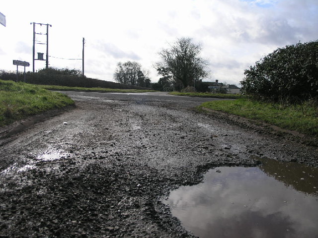
Image: © Michael Patterson Taken: 16 Feb 2006
This crossroads is formed by the junction of the B5493, Kings Lane and the farm track in the foreground.
Images are licensed for reuse under creativecommons.org/licenses/by-sa/2.0
Image Location
Latitude
52.671705
Longitude
-1.591795