Hilgrove Road, Newquay
Introduction
The photograph on this page of Hilgrove Road, Newquay by Stephen McKay as part of the Geograph project.
The Geograph project started in 2005 with the aim of publishing, organising and preserving representative images for every square kilometre of Great Britain, Ireland and the Isle of Man.

There are currently over 7.5m images from over 14,400 individuals and you can help contribute to the project by visiting https://www.geograph.org.uk
Hilgrove Road, Newquay
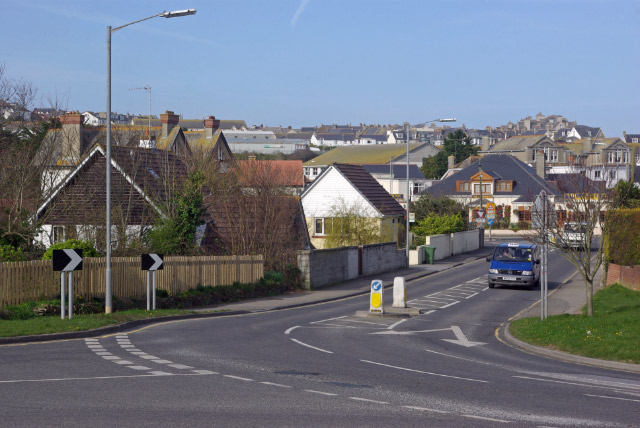
Image: © Stephen McKay Taken: 25 Mar 2009
Suburban development, typical of many seaside towns away from the seafront, is seen here from Hilgrove Road's junction with Tretherras Road.
Images are licensed for reuse under creativecommons.org/licenses/by-sa/2.0
Image Location
Latitude
50.41382
Longitude
-5.069377