Overgrown ditch (?) by River Avon, above Rock Mill, Warwick
Introduction
The photograph on this page of Overgrown ditch (?) by River Avon, above Rock Mill, Warwick by Robin Stott as part of the Geograph project.
The Geograph project started in 2005 with the aim of publishing, organising and preserving representative images for every square kilometre of Great Britain, Ireland and the Isle of Man.

There are currently over 7.5m images from over 14,400 individuals and you can help contribute to the project by visiting https://www.geograph.org.uk
Overgrown ditch (?) by River Avon, above Rock Mill, Warwick
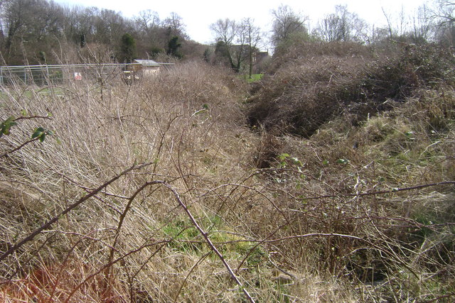
Image: © Robin Stott Taken: 15 Mar 2009
The 1:25,000 map shows a rectangular feature whose central line (assumed to be this) goes down to the riverbank. Another candidate for some historical research.
Images are licensed for reuse under creativecommons.org/licenses/by-sa/2.0
Image Location


Leaflet Map data © OpenStreetMap
Latitude
52.294915
Longitude
-1.561541