Crossing keeper's house at Aylesford
Introduction
The photograph on this page of Crossing keeper's house at Aylesford by Stephen Craven as part of the Geograph project.
The Geograph project started in 2005 with the aim of publishing, organising and preserving representative images for every square kilometre of Great Britain, Ireland and the Isle of Man.

There are currently over 7.5m images from over 14,400 individuals and you can help contribute to the project by visiting https://www.geograph.org.uk
Crossing keeper's house at Aylesford
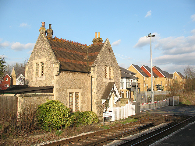
Image: © Stephen Craven Taken: 22 Mar 2009
To the right of the photo is the level crossing on the delightfully named Teapot Lane. The building in the foreground appears to have been the crossing keeper's house but is presumably now a private dwelling.
Images are licensed for reuse under creativecommons.org/licenses/by-sa/2.0
Image Location
Latitude
51.30142
Longitude
0.466793