Ditton: footpath diversion around housing development
Introduction
The photograph on this page of Ditton: footpath diversion around housing development by Stephen Craven as part of the Geograph project.
The Geograph project started in 2005 with the aim of publishing, organising and preserving representative images for every square kilometre of Great Britain, Ireland and the Isle of Man.

There are currently over 7.5m images from over 14,400 individuals and you can help contribute to the project by visiting https://www.geograph.org.uk
Ditton: footpath diversion around housing development
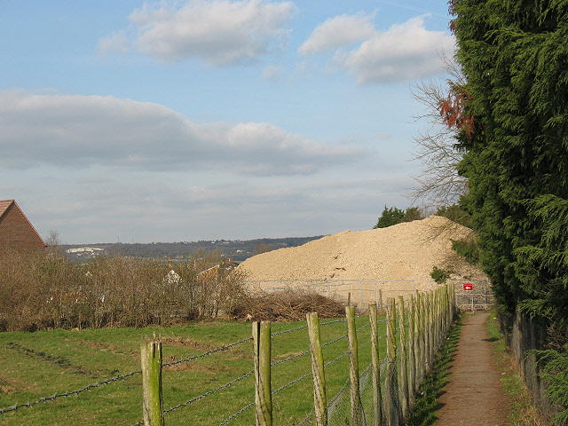
Image: © Stephen Craven Taken: 22 Mar 2009
The development is as shown in Image The footpath from East Malling has been slightly diverted (to the left of the heap of aggregate shown here) as a result of the construction activities.
Images are licensed for reuse under creativecommons.org/licenses/by-sa/2.0
Image Location
Latitude
51.293756
Longitude
0.450603