Sheridan Grove
Introduction
The photograph on this page of Sheridan Grove by Malcolm Campbell as part of the Geograph project.
The Geograph project started in 2005 with the aim of publishing, organising and preserving representative images for every square kilometre of Great Britain, Ireland and the Isle of Man.

There are currently over 7.5m images from over 14,400 individuals and you can help contribute to the project by visiting https://www.geograph.org.uk
Sheridan Grove
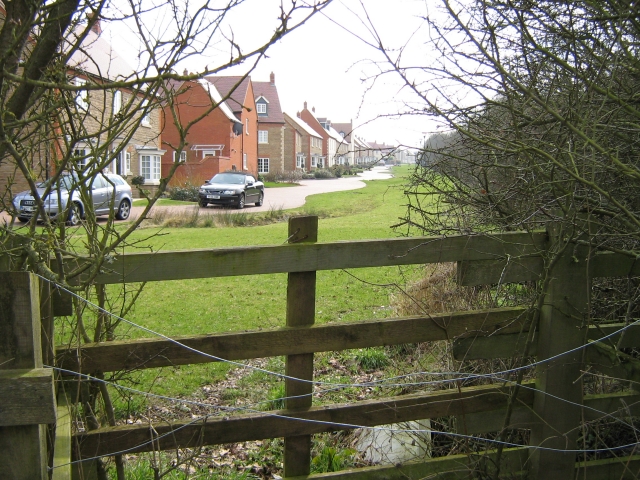
Image: © Malcolm Campbell Taken: 5 Mar 2009
New development formerly part of Shenley Common Farm South, the map shows the area as Whitney and the V1/H6 roundabout is named Whitney Roundabout. I mentioned this to a local resident I met during this walk and he intimated to me that the area was now only referred to by the name Oxley Park.
Images are licensed for reuse under creativecommons.org/licenses/by-sa/2.0
Image Location
Latitude
52.004004
Longitude
-0.810068