Hockley Hill
Introduction
The photograph on this page of Hockley Hill by Vincent Jones as part of the Geograph project.
The Geograph project started in 2005 with the aim of publishing, organising and preserving representative images for every square kilometre of Great Britain, Ireland and the Isle of Man.

There are currently over 7.5m images from over 14,400 individuals and you can help contribute to the project by visiting https://www.geograph.org.uk
Hockley Hill
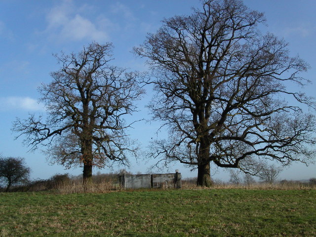
Image: © Vincent Jones Taken: 15 Feb 2006
Trees bathed in February sunlight on the way up to Hockley Hill. Under the trees are water storage tanks. The river Severn, Gloucester and the Gloucester and Sharpness canal are visible from the top of the hill.
Images are licensed for reuse under creativecommons.org/licenses/by-sa/2.0
Image Location
Latitude
51.822397
Longitude
-2.316244