St Celer's holy well
Introduction
The photograph on this page of St Celer's holy well by Natasha Ceridwen de Chroustchoff as part of the Geograph project.
The Geograph project started in 2005 with the aim of publishing, organising and preserving representative images for every square kilometre of Great Britain, Ireland and the Isle of Man.

There are currently over 7.5m images from over 14,400 individuals and you can help contribute to the project by visiting https://www.geograph.org.uk
St Celer's holy well
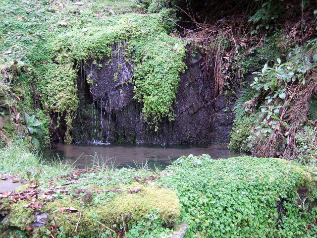
Image: © Natasha Ceridwen de Chroustchoff Taken: 6 Mar 2009
The early Christian saint lived in the caves and woods at this location: the well was once a focus of pilgrimage for healing, with a chapel dedicated to the saint. There is now a Russian orthodox mission close by.
Images are licensed for reuse under creativecommons.org/licenses/by-sa/2.0
Image Location
Latitude
52.028387
Longitude
-4.367295