Hermit's cave near Llangeler
Introduction
The photograph on this page of Hermit's cave near Llangeler by Natasha Ceridwen de Chroustchoff as part of the Geograph project.
The Geograph project started in 2005 with the aim of publishing, organising and preserving representative images for every square kilometre of Great Britain, Ireland and the Isle of Man.

There are currently over 7.5m images from over 14,400 individuals and you can help contribute to the project by visiting https://www.geograph.org.uk
Hermit's cave near Llangeler
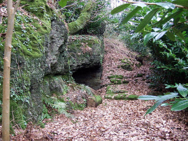
Image: © Natasha Ceridwen de Chroustchoff Taken: 6 Mar 2009
Said to be the cave used by C7 Saint Celer, or Gelert, whose holy well is nearby. NB: on private land.
Images are licensed for reuse under creativecommons.org/licenses/by-sa/2.0
Image Location
Latitude
52.028289
Longitude
-4.367727