Cripstead Lane
Introduction
The photograph on this page of Cripstead Lane by Peter Facey as part of the Geograph project.
The Geograph project started in 2005 with the aim of publishing, organising and preserving representative images for every square kilometre of Great Britain, Ireland and the Isle of Man.

There are currently over 7.5m images from over 14,400 individuals and you can help contribute to the project by visiting https://www.geograph.org.uk
Cripstead Lane
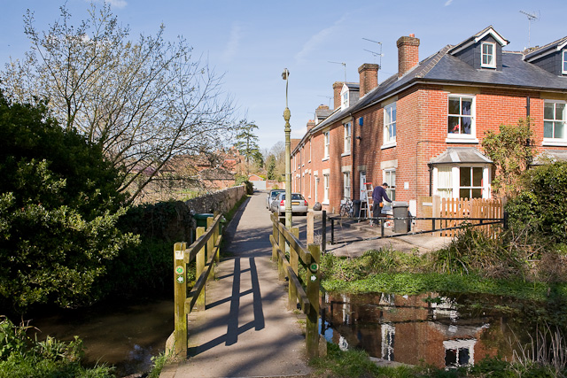
Image: © Peter Facey Taken: 30 Mar 2009
The lane ends at its eastern end with this footbridge, which leads to a footpath parallel to the River Itchen. The water seen here is a drain which may eventually flow into the river near St Cross Hospital.
Images are licensed for reuse under creativecommons.org/licenses/by-sa/2.0
Image Location
Latitude
51.049825
Longitude
-1.320882