The other end of The Waterfront, Warwick
Introduction
The photograph on this page of The other end of The Waterfront, Warwick by Robin Stott as part of the Geograph project.
The Geograph project started in 2005 with the aim of publishing, organising and preserving representative images for every square kilometre of Great Britain, Ireland and the Isle of Man.

There are currently over 7.5m images from over 14,400 individuals and you can help contribute to the project by visiting https://www.geograph.org.uk
The other end of The Waterfront, Warwick
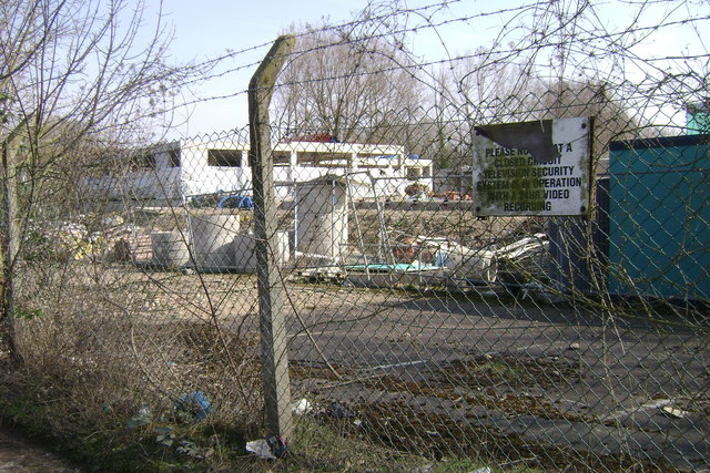
Image: © Robin Stott Taken: 20 Mar 2009
The more publicly visible face of the development can be seen in David Stowell's photo at Image To amplify, the incomplete concrete structures are the 'undercrofts' or ground floors of FOGs - flats over garages - yet to be built. The building contractor uses them as covered storage for materials. Construction may proceed later in 2009. I learnt this from the site manager who reproved me for not seeking permission to photograph the site compound: Image
Images are licensed for reuse under creativecommons.org/licenses/by-sa/2.0
Image Location
Latitude
52.292224
Longitude
-1.563034