Higher Audley Avenue, Torquay
Introduction
The photograph on this page of Higher Audley Avenue, Torquay by Derek Harper as part of the Geograph project.
The Geograph project started in 2005 with the aim of publishing, organising and preserving representative images for every square kilometre of Great Britain, Ireland and the Isle of Man.

There are currently over 7.5m images from over 14,400 individuals and you can help contribute to the project by visiting https://www.geograph.org.uk
Higher Audley Avenue, Torquay
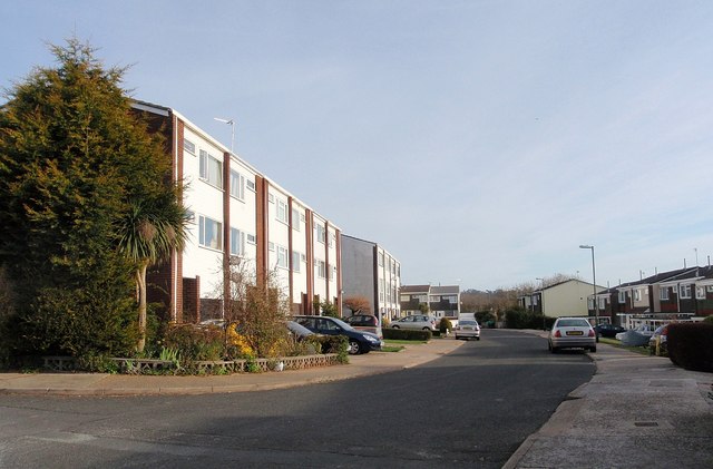
Image: © Derek Harper Taken: 24 Mar 2009
Three-storey town houses, by the entrance to Windmill Hill Recreation Ground.
Images are licensed for reuse under creativecommons.org/licenses/by-sa/2.0
Image Location


Leaflet Map data © OpenStreetMap
Latitude
50.480764
Longitude
-3.537924