Myton Road, Myton
Introduction
The photograph on this page of Myton Road, Myton by Robin Stott as part of the Geograph project.
The Geograph project started in 2005 with the aim of publishing, organising and preserving representative images for every square kilometre of Great Britain, Ireland and the Isle of Man.

There are currently over 7.5m images from over 14,400 individuals and you can help contribute to the project by visiting https://www.geograph.org.uk
Myton Road, Myton
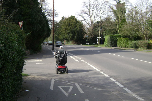
Image: © Robin Stott Taken: 16 Mar 2009
National cycle network route 41 runs for some distance on a broad footway here. The turning on the left is Myton Crescent. The turning on the right is Myton Lane, in SP2964.
Images are licensed for reuse under creativecommons.org/licenses/by-sa/2.0
Image Location


Leaflet Map data © OpenStreetMap
Latitude
52.280531
Longitude
-1.561683