St Andrews
Introduction
The photograph on this page of St Andrews by Glyn Baker as part of the Geograph project.
The Geograph project started in 2005 with the aim of publishing, organising and preserving representative images for every square kilometre of Great Britain, Ireland and the Isle of Man.

There are currently over 7.5m images from over 14,400 individuals and you can help contribute to the project by visiting https://www.geograph.org.uk
St Andrews
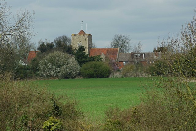
Image: © Glyn Baker Taken: 29 Mar 2009
This is St Andrews Church Boreham, it reputedly has some recycled Roman brick in its walls. For some more history see http://www.historyhouse.co.uk/essexb20a.html
Images are licensed for reuse under creativecommons.org/licenses/by-sa/2.0
Image Location
Latitude
51.757557
Longitude
0.542879