Wilton Hall, Wilton Lane
Introduction
The photograph on this page of Wilton Hall, Wilton Lane by Pauline E as part of the Geograph project.
The Geograph project started in 2005 with the aim of publishing, organising and preserving representative images for every square kilometre of Great Britain, Ireland and the Isle of Man.

There are currently over 7.5m images from over 14,400 individuals and you can help contribute to the project by visiting https://www.geograph.org.uk
Wilton Hall, Wilton Lane
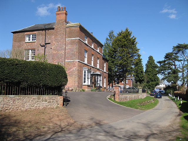
Image: © Pauline E Taken: 29 Mar 2009
Close to the River Wye, this Grade II listed property has been converted into apartments.
Images are licensed for reuse under creativecommons.org/licenses/by-sa/2.0
Image Location
Latitude
51.913995
Longitude
-2.600488