Milford-on-Sea, glasshouse
Introduction
The photograph on this page of Milford-on-Sea, glasshouse by Mike Faherty as part of the Geograph project.
The Geograph project started in 2005 with the aim of publishing, organising and preserving representative images for every square kilometre of Great Britain, Ireland and the Isle of Man.

There are currently over 7.5m images from over 14,400 individuals and you can help contribute to the project by visiting https://www.geograph.org.uk
Milford-on-Sea, glasshouse
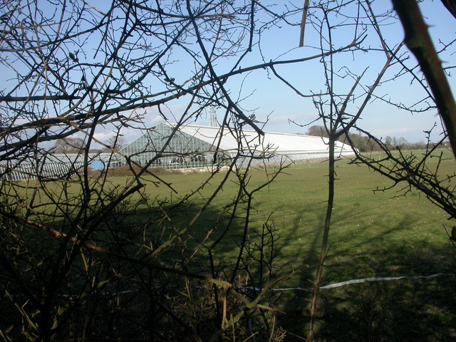
Image: © Mike Faherty Taken: 29 Mar 2009
Massive 140m long glasshouse in field between Manor Road & Barnes Lane; smaller ones to the left. Operated by http://www.dobies.co.uk/
Images are licensed for reuse under creativecommons.org/licenses/by-sa/2.0
Image Location
Latitude
50.7333
Longitude
-1.594411