Waymarker, Devoran
Introduction
The photograph on this page of Waymarker, Devoran by John Gibson as part of the Geograph project.
The Geograph project started in 2005 with the aim of publishing, organising and preserving representative images for every square kilometre of Great Britain, Ireland and the Isle of Man.

There are currently over 7.5m images from over 14,400 individuals and you can help contribute to the project by visiting https://www.geograph.org.uk
Waymarker, Devoran
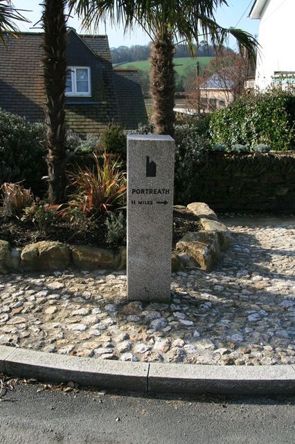
Image: © John Gibson Taken: 17 Mar 2009
This granite waymarker is set up just across from the bottom of Market Street and indicates the route of the coast-to-coast tramway trail from Devoran to Portreath.
Images are licensed for reuse under creativecommons.org/licenses/by-sa/2.0
Image Location
Latitude
50.209947
Longitude
-5.094255