Roundabout onto Rheims Way
Introduction
The photograph on this page of Roundabout onto Rheims Way by pam fray as part of the Geograph project.
The Geograph project started in 2005 with the aim of publishing, organising and preserving representative images for every square kilometre of Great Britain, Ireland and the Isle of Man.

There are currently over 7.5m images from over 14,400 individuals and you can help contribute to the project by visiting https://www.geograph.org.uk
Roundabout onto Rheims Way
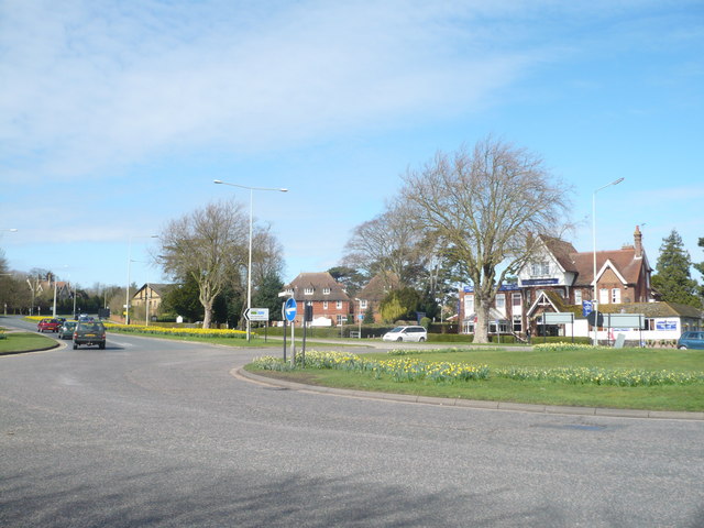
Image: © pam fray Taken: 29 Mar 2009
Looking back to the A2050. To the right of the picture is the start of Rheims Way, the ring road round the city of Canterbury. On the far side of the roundabout is the Red House and Victoria Hotel.
Images are licensed for reuse under creativecommons.org/licenses/by-sa/2.0
Image Location
Latitude
51.281404
Longitude
1.062749