Blackthorn bush, Sugar Loaf, Paignton
Introduction
The photograph on this page of Blackthorn bush, Sugar Loaf, Paignton by Tom Jolliffe as part of the Geograph project.
The Geograph project started in 2005 with the aim of publishing, organising and preserving representative images for every square kilometre of Great Britain, Ireland and the Isle of Man.

There are currently over 7.5m images from over 14,400 individuals and you can help contribute to the project by visiting https://www.geograph.org.uk
Blackthorn bush, Sugar Loaf, Paignton
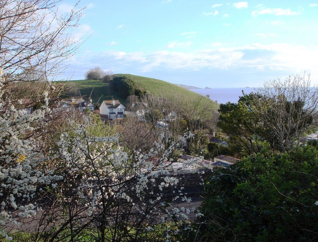
Image: © Tom Jolliffe Taken: 29 Mar 2009
The blackthorn bush grows at the roadside near to Sugar Loaf (the hill in the centre). In the valley below, there is a holiday camp with caravans and mobile homes, etc. In the distance, across the bay, Thatcher Rock is visible on the horizon.
Images are licensed for reuse under creativecommons.org/licenses/by-sa/2.0
Image Location
Latitude
50.414393
Longitude
-3.558013