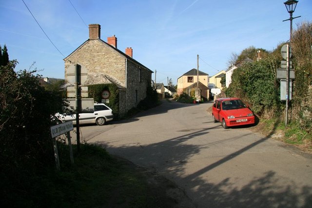
Devoran - Old Tram Road
Introduction
The photograph on this page of Devoran - Old Tram Road by John Gibson as part of the Geograph project.
The Geograph project started in 2005 with the aim of publishing, organising and preserving representative images for every square kilometre of Great Britain, Ireland and the Isle of Man.
There are currently over 7.5m images from over 14,400 individuals and you can help contribute to the project by visiting https://www.geograph.org.uk

Image: © John Gibson Taken: 17 Mar 2009
As it entered Devoran from the north-west, the Redruth and Chasewater Railway split into three near the village centre. The upper route followed the line of Carclew Terrace and emerged here to continue along what is now called Old Tram Road, running behind the photographer's position as a horse-drawn tramway towards the old terminus at Point. Although the railway closed in 1915 and the rails were taken up in 1919, the road surface was not made up until 1951.

