Dawley from the west
Introduction
The photograph on this page of Dawley from the west by Mike White as part of the Geograph project.
The Geograph project started in 2005 with the aim of publishing, organising and preserving representative images for every square kilometre of Great Britain, Ireland and the Isle of Man.

There are currently over 7.5m images from over 14,400 individuals and you can help contribute to the project by visiting https://www.geograph.org.uk
Dawley from the west
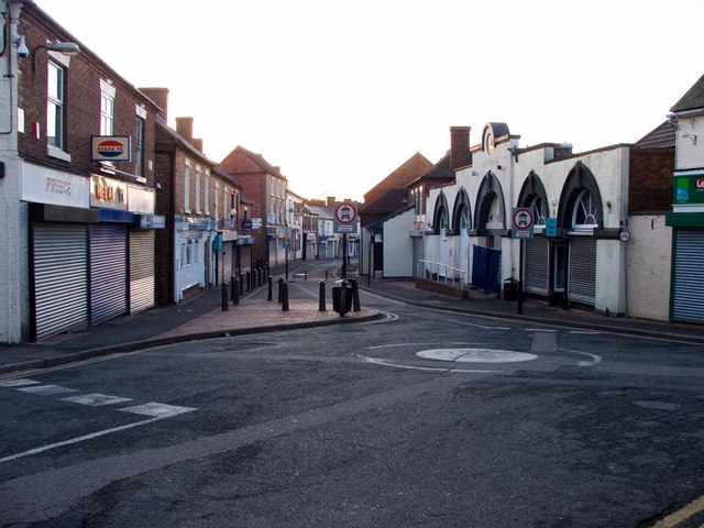
Image: © Mike White Taken: 29 Mar 2009
The new town was going to be called Dawley New Town. When the scale of the project increased, the name of Shropshire's Scottish transport engineer, Telford, was chosen. Now Dawley, like all the small towns within the conurbation, is in decline. See Image
Images are licensed for reuse under creativecommons.org/licenses/by-sa/2.0
Image Location
Latitude
52.664287
Longitude
-2.468969