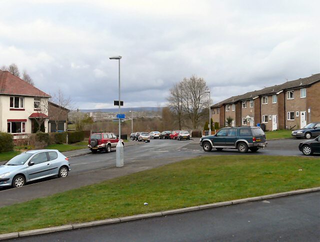
Grange Road South
Introduction
The photograph on this page of Grange Road South by Gerald England as part of the Geograph project.
The Geograph project started in 2005 with the aim of publishing, organising and preserving representative images for every square kilometre of Great Britain, Ireland and the Isle of Man.
There are currently over 7.5m images from over 14,400 individuals and you can help contribute to the project by visiting https://www.geograph.org.uk

Image: © Gerald England Taken: 28 Mar 2009
At its junction with Allen Avenue. A new blue sign on the lamppost directs cyclists towards the Town Centre and the Trans Pennine Trail Image Quite where a cyclist requiring such a sign might get directed to this particular point from is beyond me. As Grange Road South curves round in a circle at this juncture, either direction would get you to the same point anyway.

