Site for Independent School
Introduction
The photograph on this page of Site for Independent School by Malcolm Campbell as part of the Geograph project.
The Geograph project started in 2005 with the aim of publishing, organising and preserving representative images for every square kilometre of Great Britain, Ireland and the Isle of Man.

There are currently over 7.5m images from over 14,400 individuals and you can help contribute to the project by visiting https://www.geograph.org.uk
Site for Independent School
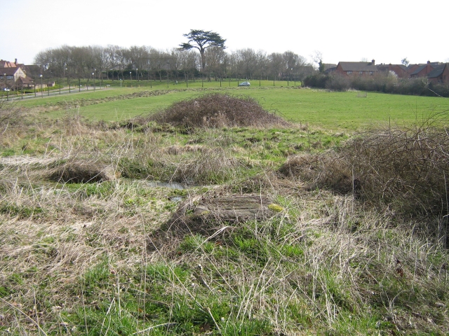
Image: © Malcolm Campbell Taken: 17 Mar 2009
Undeveloped site bounded by Portway, Daubeney Gate, Vache Lane and Duncan Grove is shown on Milton Keynes Council's interactive map as "Site for Independent School"
Images are licensed for reuse under creativecommons.org/licenses/by-sa/2.0
Image Location
Latitude
52.023475
Longitude
-0.797309