Charminster, Hankinson Road
Introduction
The photograph on this page of Charminster, Hankinson Road by Mike Faherty as part of the Geograph project.
The Geograph project started in 2005 with the aim of publishing, organising and preserving representative images for every square kilometre of Great Britain, Ireland and the Isle of Man.

There are currently over 7.5m images from over 14,400 individuals and you can help contribute to the project by visiting https://www.geograph.org.uk
Charminster, Hankinson Road
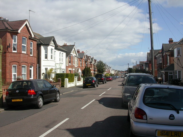
Image: © Mike Faherty Taken: 28 Mar 2009
Mixed Edwardian houses in a road named after Bournemouth's first mayor, Thomas James Hankinson, previously chairman of the Bournemouth Commissioners, later mayor of Bournemouth Borough Council from 1890. http://www.bournemouth.gov.uk/Residents/Historical_Bournemouth/council_history.asp
Images are licensed for reuse under creativecommons.org/licenses/by-sa/2.0
Image Location
Latitude
50.741575
Longitude
-1.868997