The A4120 in Capel Seion
Introduction
The photograph on this page of The A4120 in Capel Seion by Nigel Brown as part of the Geograph project.
The Geograph project started in 2005 with the aim of publishing, organising and preserving representative images for every square kilometre of Great Britain, Ireland and the Isle of Man.

There are currently over 7.5m images from over 14,400 individuals and you can help contribute to the project by visiting https://www.geograph.org.uk
The A4120 in Capel Seion
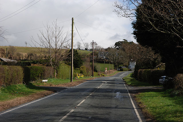
Image: © Nigel Brown Taken: 28 Mar 2009
Bounded by well-spaced properties. In the distance, the road reaches a double bend which enables it to climb onto a higher bit of the broad ridge on which the village is situated.
Images are licensed for reuse under creativecommons.org/licenses/by-sa/2.0
Image Location


Leaflet Map data © OpenStreetMap
Latitude
52.393407
Longitude
-4.001261